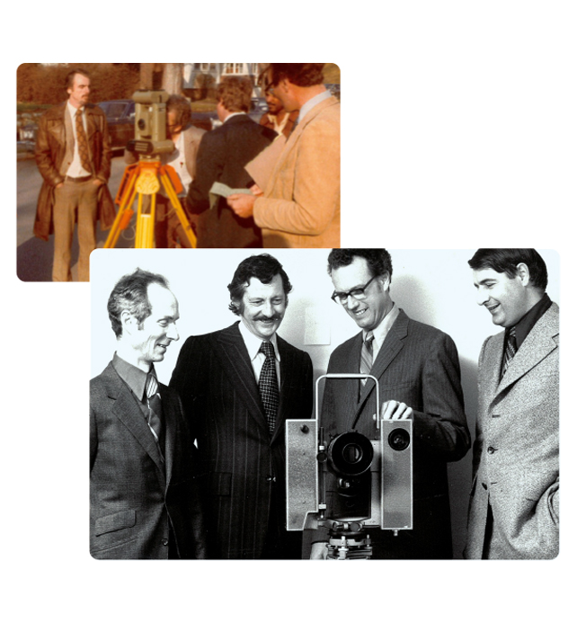
J.D. Barnes Limited was founded in 1960 as a professional land surveying firm grounded in accuracy, accountability, and a strong understanding of land administration. In its early years, the firm established itself through legal surveys, achieving notable milestones such as becoming the first firm in the province to register a condominium plan.
Founded by John “Jack” Duncan Barnes, an entrepreneurial surveyor, the firm grew steadily under the guidance of successive company presidents by maintaining a focus on technical accuracy, professional integrity, and long-term client relationships.
As land development and infrastructure projects increased in scale and complexity, J.D. Barnes Limited expanded its services and geographic presence to support clients across multiple jurisdictions. This growth has been guided by a deliberate approach to adding new capabilities where they strengthen project delivery and client outcomes.
First Base Solutions was established in 2000 to support aerial imagery, mapping, and geospatial data services and has since become a primary collector of aerial imagery across Canada. The firm’s service offering further expanded with the acquisition of OnSite Locates in 2016, strengthening J.D. Barnes’ utility services and enabling a dedicated focus on Subsurface Utility Engineering (SUE).
This integration allows the firm to support projects that require a coordinated understanding of both above- and below-ground infrastructure.
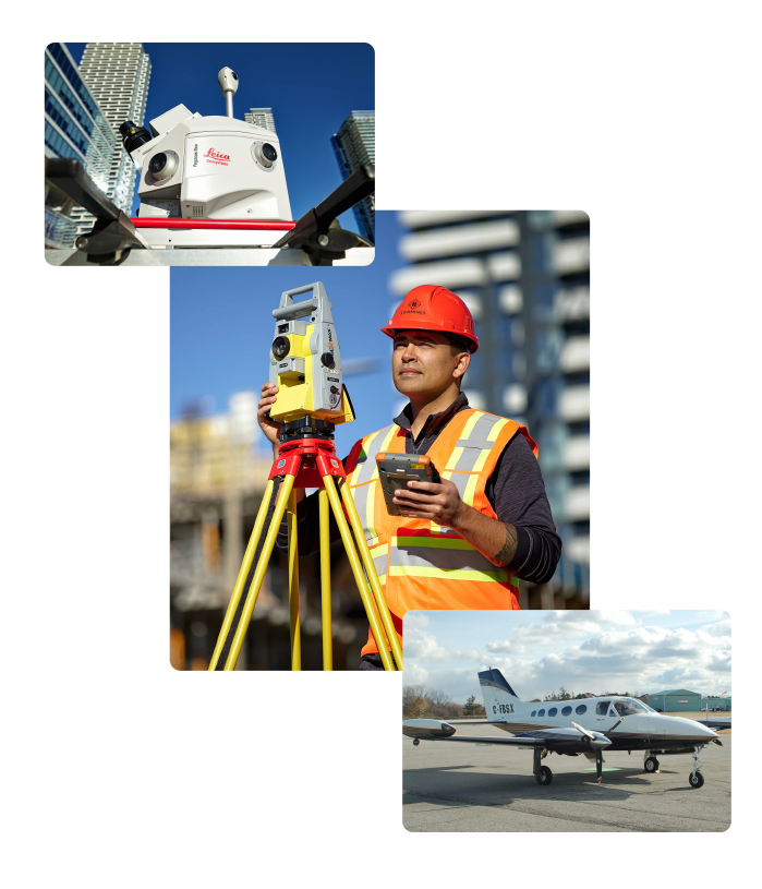
J.D. Barnes Limited has continued to invest in advanced surveying technologies, including LiDAR and drone-based survey services, to support large-scale infrastructure and remote data collection while maintaining survey-grade accuracy.
The firm’s geographic footprint expanded beyond Ontario in 2020 with the growth of its operations in Quebec, strengthening its ability to support projects across both provinces.
Today, J.D. Barnes Limited operates as a multidisciplinary surveying and geospatial organization with more than 500 employees across 19 offices in Ontario and Quebec. The firm includes over 100 Ontario, Quebec, and Canada Lands Surveyors and specialized teams delivering legal surveying, engineering surveys, LiDAR, aerial mapping, GIS, bathymetry, and subsurface utility engineering.
While tools and technologies have evolved, the firm’s role remains the same: providing accurate and reliable land information that clients rely on for planning, development, and long-term decision-making.