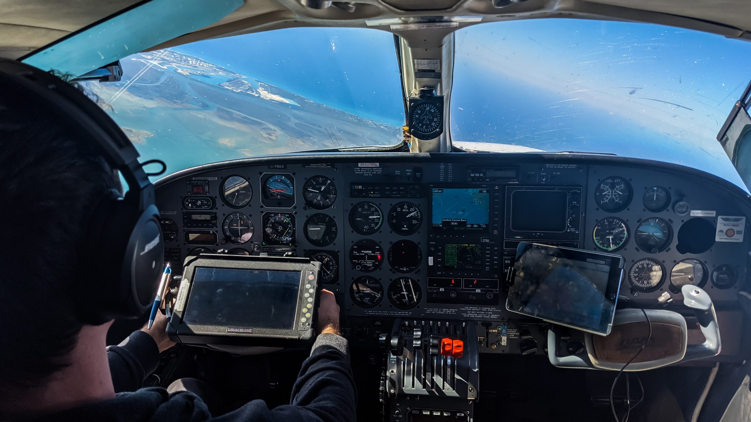
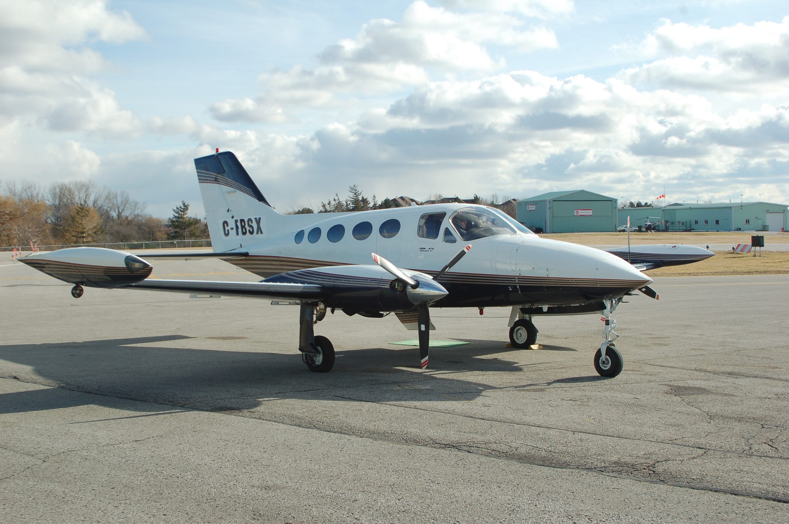
To capture data from areas that are too large, remote, or challenging to access efficiently using ground-based or UAV methods, we provide manned aerial imagery acquisition using fixed-wing aircraft operated by licensed pilots.
Our Cessna aircraft are equipped with large-format Vexcel UltraCAM sensors to capture high-resolution aerial imagery suitable for GIS analysis, topographic mapping, and the creation of 3D city models.
Our aerial imagery team has supported government agencies and private-sector clients on projects including urban and regional planning, mining exploration, and environmental analysis across North America.
Capture high-resolution aerial imagery over large areas using fixed-wing aircraft to support mapping, planning, and infrastructure projects.
Coordinate and integrate aerial LiDAR data acquisition to support elevation modeling, corridor analysis, and large-area terrain mapping as part of broader geospatial programs.
Produce georeferenced orthomosaics and stereo imagery to support accurate mapping, feature extraction, and photogrammetric analysis.
Extract and map visible surface features such as buildings, roads, and infrastructure from aerial imagery to support GIS databases and mapping programs.
Generate digital elevation and terrain models, along with contour mapping, to support topographic analysis, engineering design, and land-use planning.
Identify and map hard surfaces and structures from aerial imagery
Develop three-dimensional models over large areas to support visualization, planning, and integration with GIS and digital twin environments.