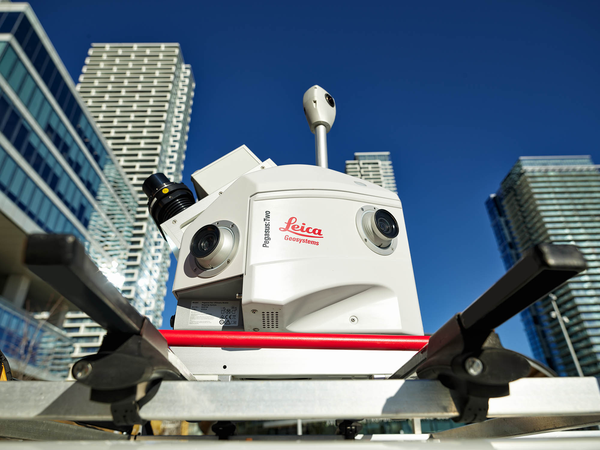
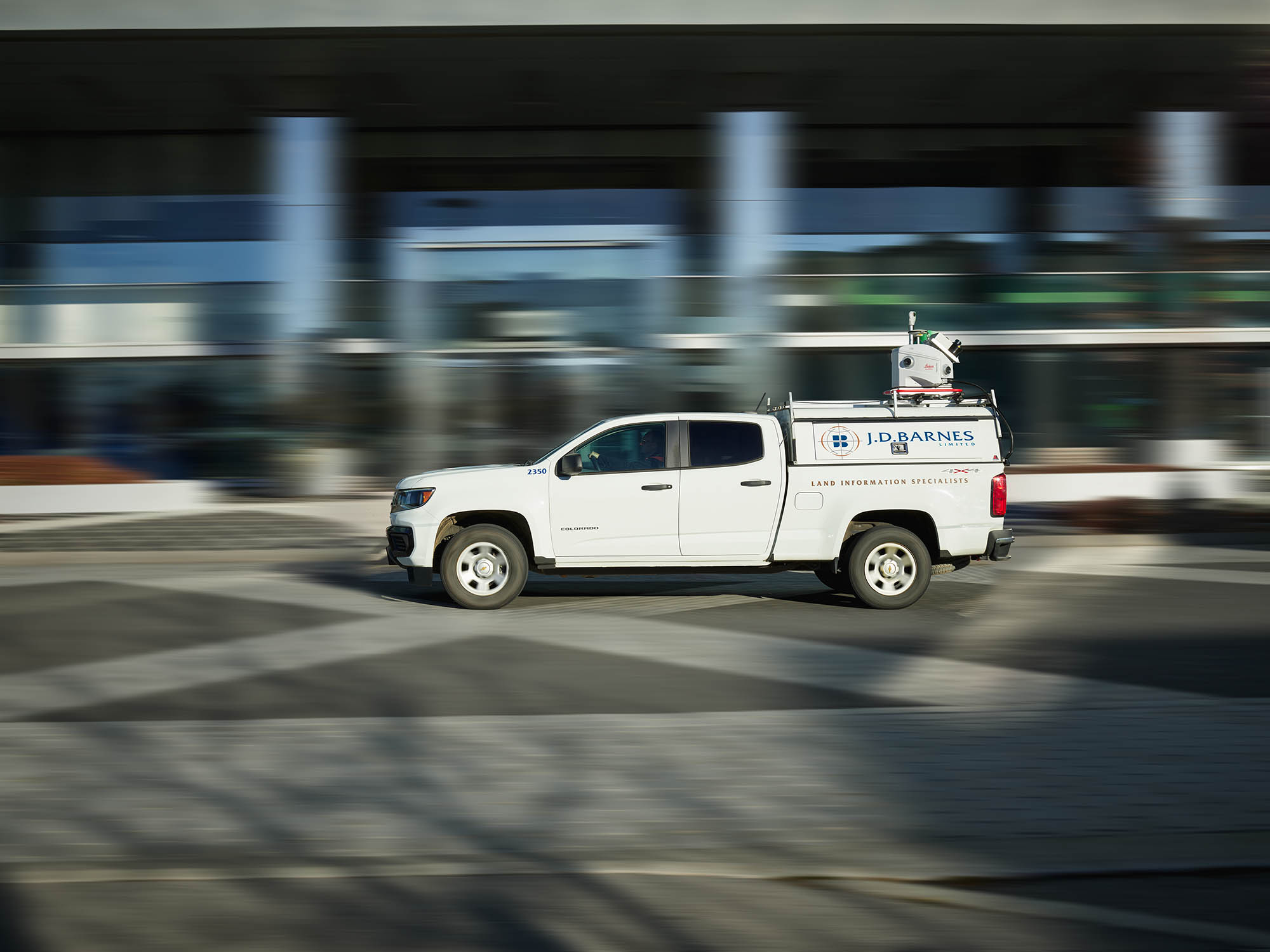
Mobile LiDAR Surveys
Mobile LiDAR is used to efficiently capture detailed existing conditions along linear and corridor-based environments. Mounted on vehicles or mobile platforms, this method is well suited for roads, highways, rail corridors, bridges, and airport taxiways where maintaining traffic flow and active operations is required.
Mobile LiDAR surveys provide continuous, high-density point clouds that supports corridor mapping, clearance analysis, asset inventories, and the development of as-built drawings for engineering and infrastructure projects.
Terrestrial LiDAR Scanning (Static LiDAR)
Terrestrial LiDAR scanning uses stationary scanners to capture highly detailed three-dimensional data of structures, facilities, and complex environments. This method is commonly applied to buildings, industrial facilities, bridges, tunnels, and sites where precision and detail are critical.
Static LiDAR surveys are used to document existing conditions, produce as-built drawings, and generate 3D models that integrate with CAD, GIS, BIM, and digital twin workflows, supporting design, analysis, and restoration projects.
Process raw LiDAR data into point clouds, applying classification, filtering, and quality control to support downstream analysis and modeling.
Develop three-dimensional models representing existing conditions for use in visualization, design coordination, and integration.
Prepare LiDAR-derived datasets and models formatted to support Building Information Modeling (BIM).
Capture detailed exterior building geometry to support condition assessments, restoration planning, and as-built documentation.
Document complex structures using LiDAR to support inspection, rehabilitation planning, and engineering analysis.
Measure spatial clearances between infrastructure elements to support safety assessments, compliance reviews, and design verification.
Monitor structural or ground movement over time using repeat LiDAR surveys to support risk assessment and long-term asset management.