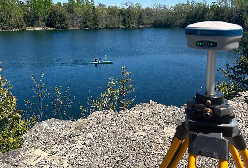
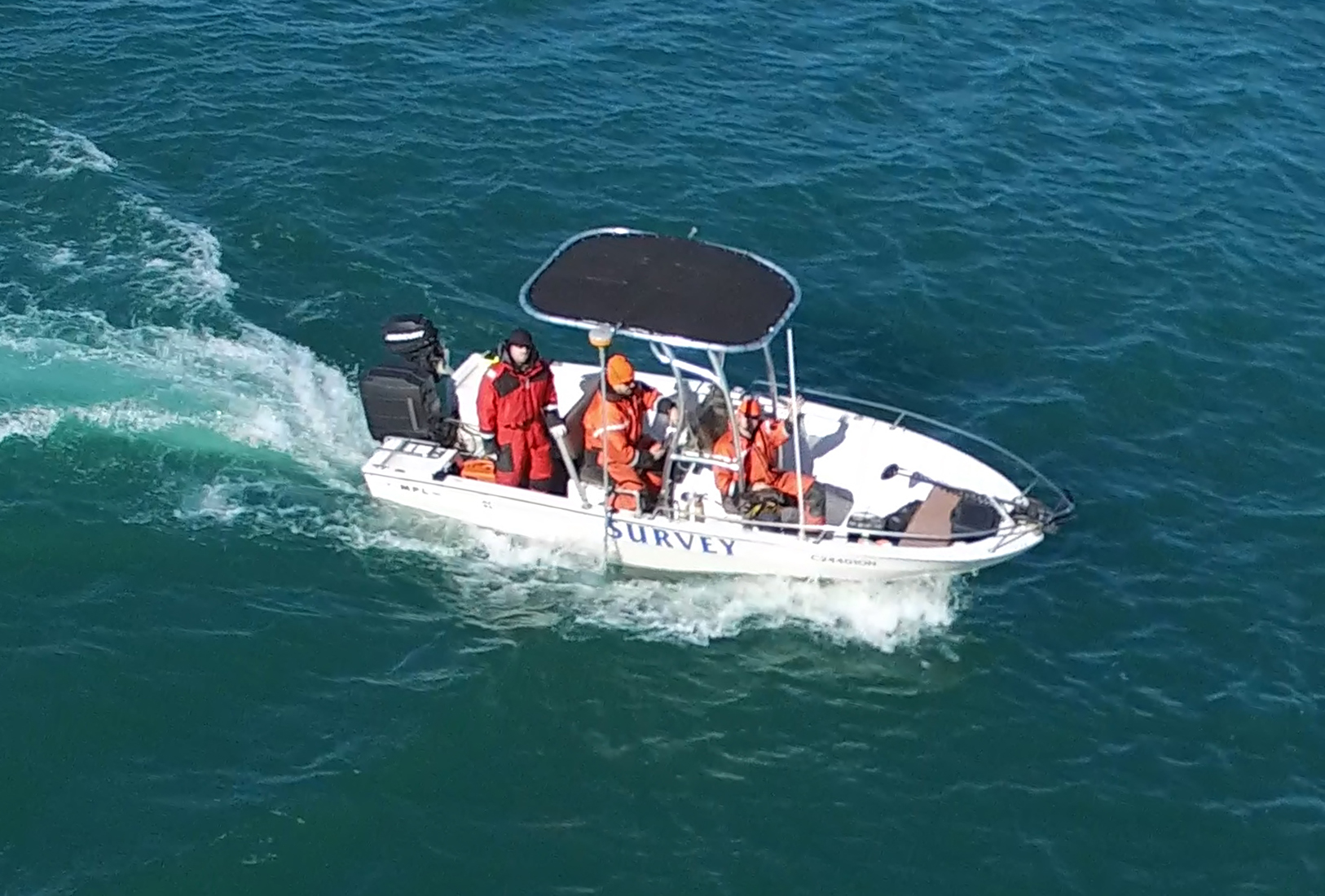
Mapping underwater terrain presents unique technical and environmental challenges. Our bathymetric survey services use dedicated survey vessels equipped with survey-grade sonar systems, including single-beam and multi-beam echo sounders, combined with GNSS positioning and real-time corrections to capture reliable depth and terrain data.
Collected data is processed to produce bathymetric surfaces, contour maps, shoreline mapping, cross-section profiles, and volume calculations that support engineering design and planning. Where required, underwater pipelines and submerged infrastructure can also be located and mapped.
Bathymetric survey deliverables are used to support design, dredging, hydraulic analysis, shoreline monitoring, and environmental studies.
Capture underwater profiles and terrain surfaces to document existing conditions and support hydraulic analysis, design, and engineering assessments.
Map shoreline position and nearshore bathymetry to support planning, erosion studies, and integration with land-based survey data.
Survey stormwater ponds to assess underwater conditions, sediment accumulation, and available storage capacity in support of maintenance and planning.
Document underwater conditions around dams, spillways, and hydraulic structures to support rehabilitation planning, inspections, and engineering analysis.
Calculate underwater material volumes using bathymetric data to support dredging estimates, sediment management, and construction planning.
Locate and map submerged utilities and pipelines to support inspection, maintenance planning, and infrastructure design.