Accurate designating/locating and mapping of utility infrastructure is critical to reducing the risk of utility conflicts, construction delays, and damage to existing services. Subsurface Utility Engineering (SUE) provides a structured approach to improving the reliability of underground utility information prior to design and construction.
SUE projects are completed in accordance with ASCE 38-22, which start with a review of available utility records and background information, followed by field investigations to identify and map utility features at the surface and below ground. Where required, non-destructive excavation methods are used to expose utilities and confirm their horizontal and vertical position, material type, and configuration.
Utility information is surveyed, mapped, and delivered in formats that support engineering design, utility coordination, and construction planning. SUE deliverables are commonly used to identify potential conflicts, support design decisions, and manage risk associated with underground infrastructure throughout the project area.
Provide Subsurface Utility Engineering (SUE) services in accordance with the ASCE 38 standard, progressing from Level D records research through Level C surface feature survey, Level B geophysical designation, and Level A non-destructive exposure to deliver increasingly reliable utility information that supports design development and risk management.
Identify and mark privately owned underground utilities not covered by public locate systems.
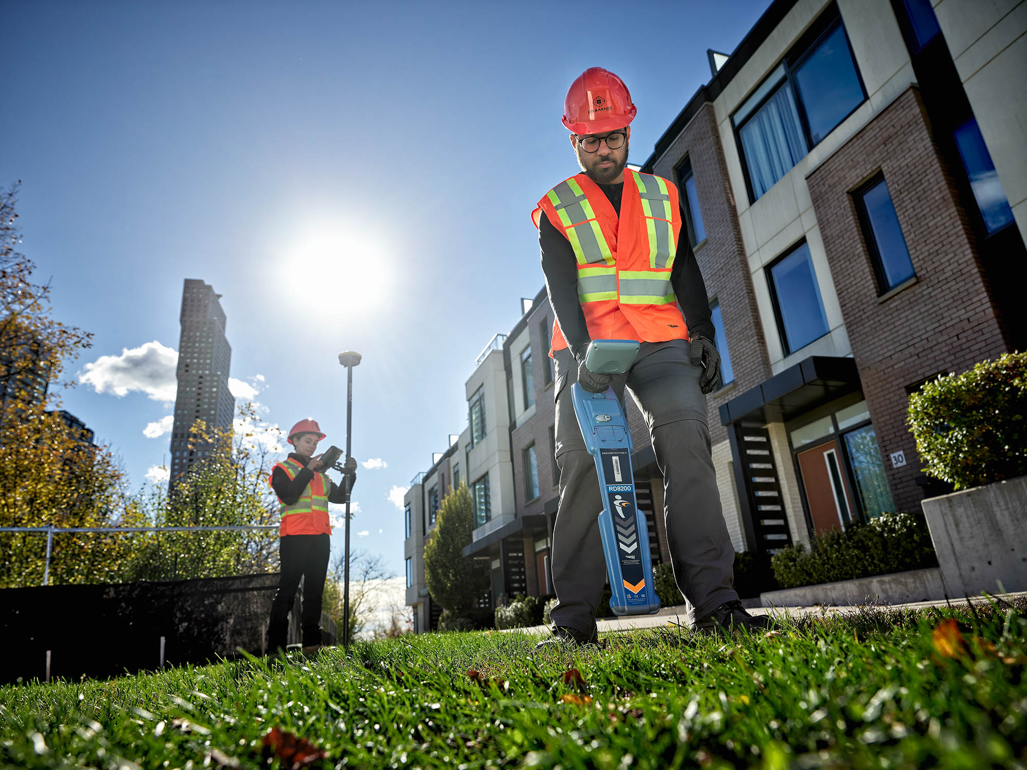
Apply non-invasive geophysical methods to assist in identifying subsurface features where traditional locating methods may be limited.
Use GPR to detect subsurface utilities and features based on material contrasts, supporting utility mapping and verification in complex environments.
Document the location of installed utility infrastructure to support record drawings, asset management, and future planning.
Expose underground utilities using non-destructive excavation to confirm location, depth, and material without damaging existing infrastructure.
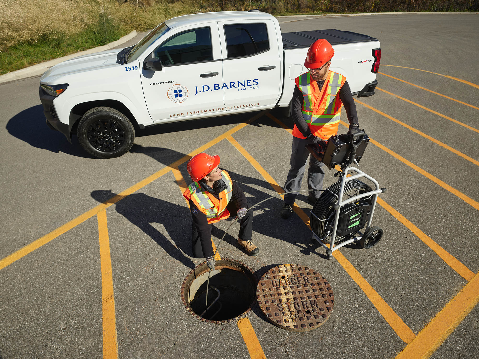
Inspect sewer infrastructure using closed-circuit television to assess condition, alignment, and connectivity, often following flushing and cleaning operations.
Capture detailed measurements of underground chambers and vaults to support mapping, condition assessments, and design coordination.
Conduct inspections within confined spaces in accordance with safety regulations to support utility investigations and infrastructure assessments.
Coordinate utility locate requests and responses through Ontario One Call to support project planning and compliance requirements.
Survey and document pipeline infrastructure to support integrity assessments, maintenance planning, and regulatory compliance.
Support excavation and inspection programs by providing survey control, mapping, and documentation of exposed pipeline sections.
Measure and document cover over buried utilities or pipelines to support safety reviews and compliance evaluations.
Map utilities and associated features along transportation and infrastructure corridors to support planning, design, and asset inventories.