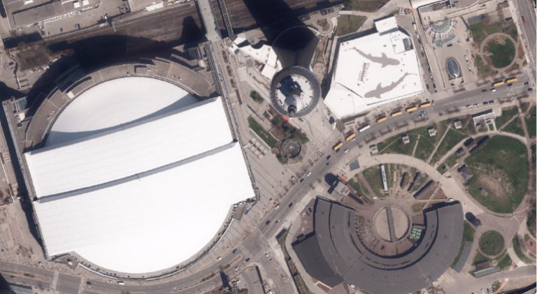
In 2025, First Base Solutions captured more than 450,000 square kilometres of high-resolution aerial imagery across Ontario, supporting a wide range of mapping, planning, and geospatial applications.
This large-scale imagery collection provides a consistent and current visual record that can be used for topographic mapping, feature extraction, land-use analysis, infrastructure planning, and integration with GIS and digital mapping platforms. The ability to collect imagery efficiently at scale allows public- and private-sector organizations to work from up-to-date datasets across extensive geographic areas.
High-resolution aerial imagery also supports repeatable data capture over time, enabling change detection, asset monitoring, and long-term planning initiatives. When combined with surveying, LiDAR, and GIS workflows, this imagery forms a reliable foundation for spatial analysis and decision-making.