Drone technology allows us to survey challenging environments — including rugged, hard-to-reach terrain and active transportation corridors — safely and efficiently.
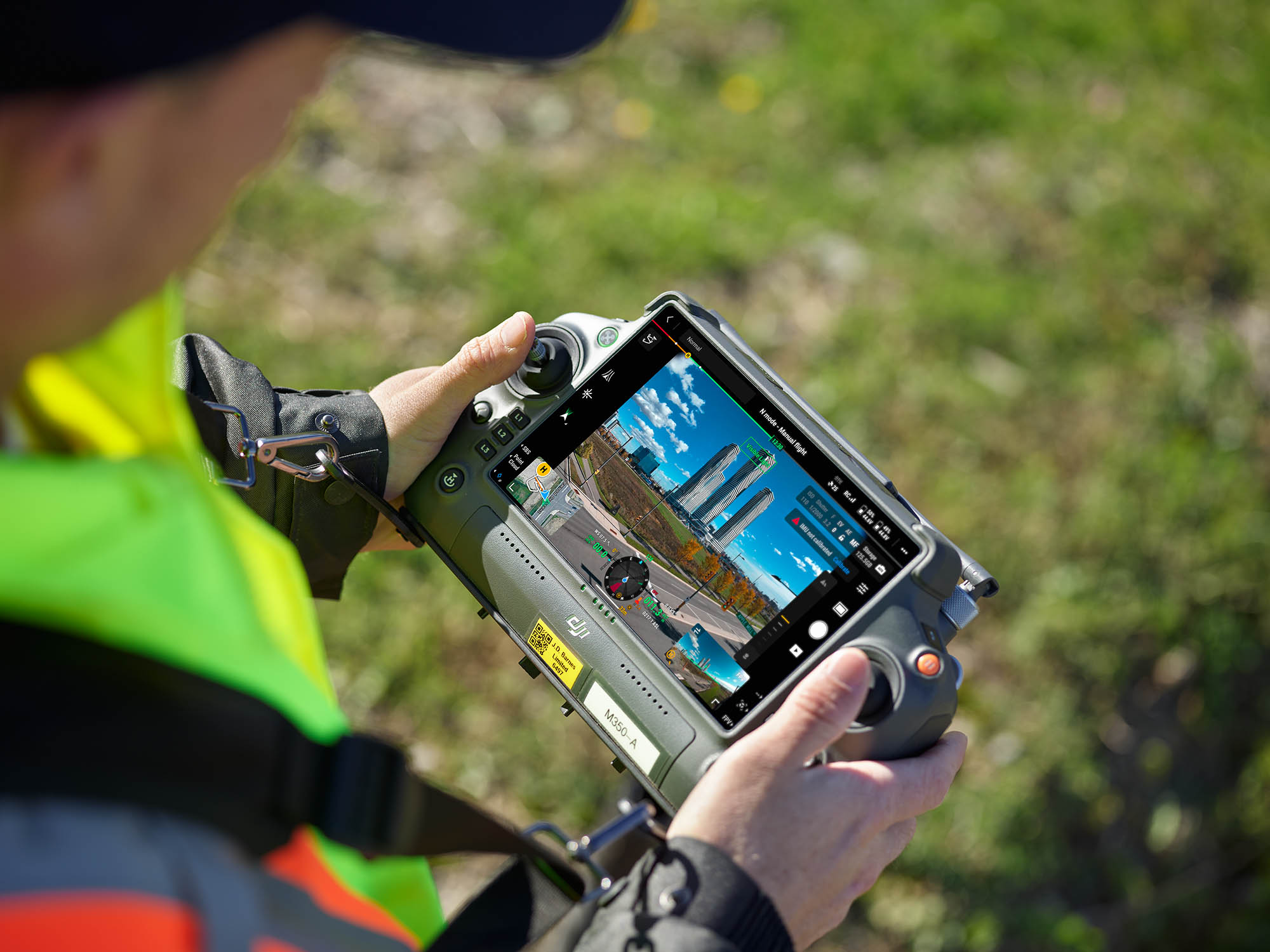
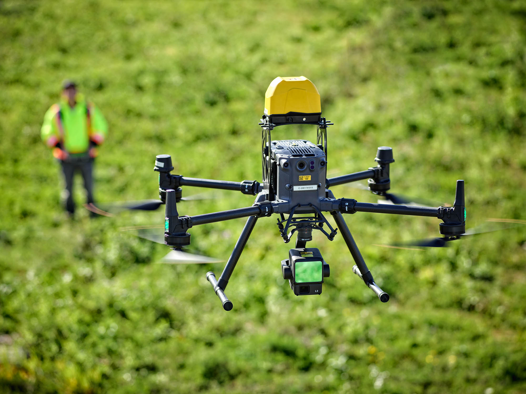
Our survey-grade drones are equipped with RTK-enabled GNSS positioning to support the collection of photogrammetric and LiDAR data suitable for engineering and design applications.
Drone operations are carried out by experienced field surveyors who hold Advanced Operations certifications from Transport Canada and follow established safety procedures and regulatory requirements.
Capture existing ground elevations and visible features using UAV-based data collection to support planning, engineering design, and site development.
LiDAR sensors to collect high-density elevation data in areas where vegetation, terrain, or site conditions limit traditional survey methods.
Produce georeferenced aerial imagery corrected for scale and distortion, suitable for survey measurements, and integration with CAD and GIS systems.
Generate digital surface and terrain models representing existing conditions, supporting design, analysis, and volumetric calculations.
Calculate material volumes based on surface models to support earthworks planning, quantity verification, and construction management.
Collect visual and spatial data to support condition assessments of infrastructure, utilities, and environmentally sensitive areas.
Provide aerial imagery and video to support project documentation, progress monitoring, and communication with stakeholders.