Infrastructure design relies on accurate and consistent base information. When boundary surveys, surface features, and subsurface utility data are developed by separate teams, differences in control, accuracy, and interpretation can introduce unnecessary risk and rework.
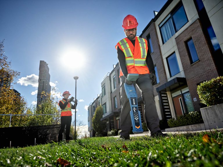
J.D. Barnes delivers integrated survey and Subsurface Utility Engineering (SUE) services under one roof. Topographic surveys, boundaries, and subsurface utilities are developed together using a single control network and coordinated field programs. Data is cross-checked in the field and in the office, allowing discrepancies to be identified and resolved before design begins.
This unified approach reduces coordination effort and design conflicts while improving schedule certainty through the delivery of a single, consistent dataset structured for CAD, BIM, and GIS.