Since 1960, we have led the way in surveying and geomatics. Using modern survey technologies, we provide a comprehensive range of services to the largest companies and municipalities in Canada.
Reducing Design Risk Through Integrated Survey and SUE
Infrastructure design relies on accurate and consistent base information. When boundary surveys, surface features, and subsurface utility data are developed by separate teams,...
As land development accelerates, utility corridors face increasing risk from unauthorized encroachments that can obstruct access, damage infrastructure, and compromise public safety....
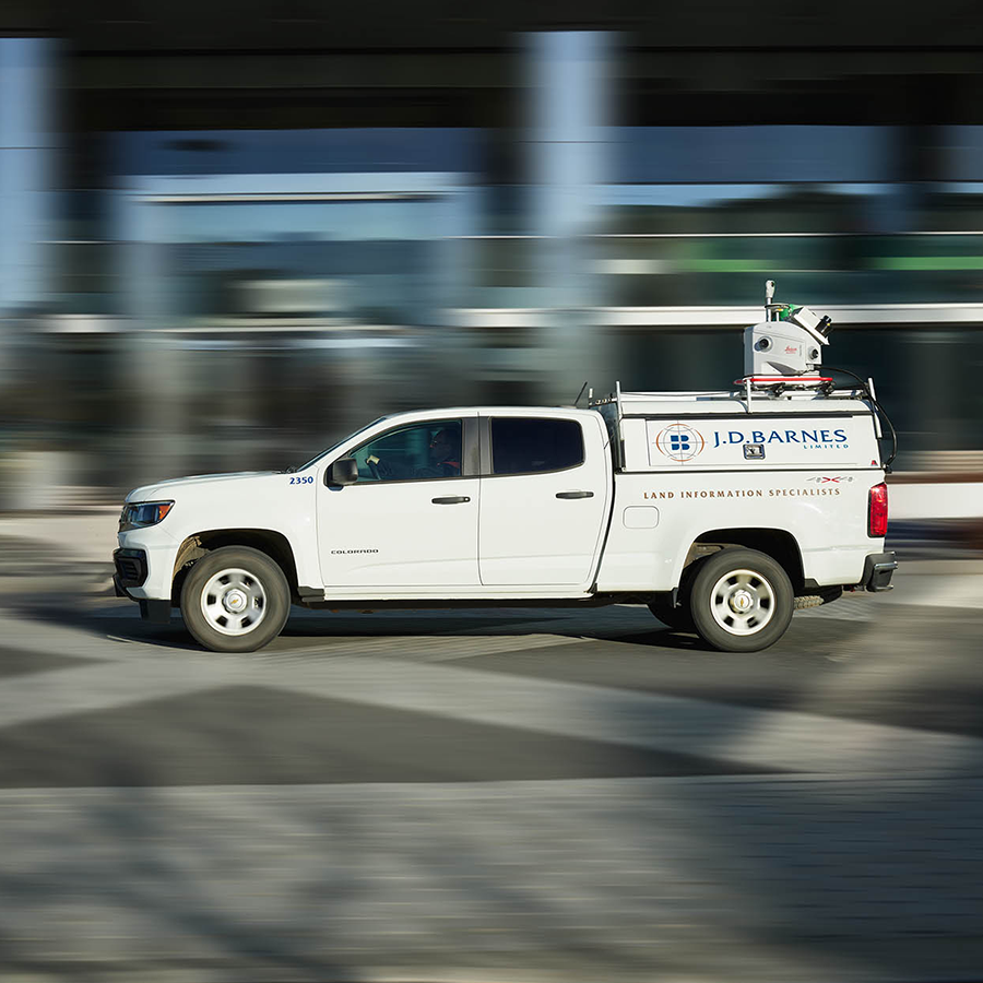
Large-Scale Aerial Imagery Collection Supporting Mapping Across Onta
In 2025, First Base Solutions captured more than 450,000 square kilometres of high-resolution aerial imagery across Ontario, supporting a wide range of mapping, planning, and geospatial applications.